Operations
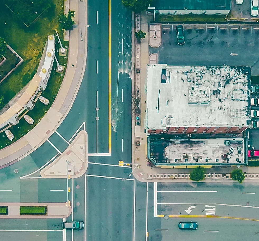
Drones have revolutionized the way you can perform mapping and surveying operations. Collect high resolution aerial imagery quickly and accurately. They can provide detailed maps and 3D models which means you can measure and analyze the most complex topography, vegetation, and man-made structures with ease. Take a look at our done for you solutions below.
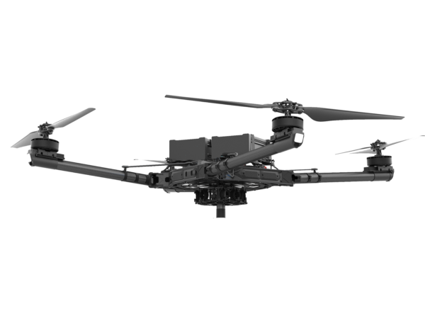

ALTA X
LiDAR
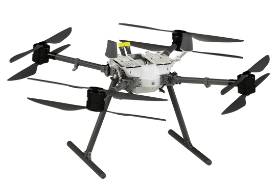

WATTS Prism Sky
LiDAR
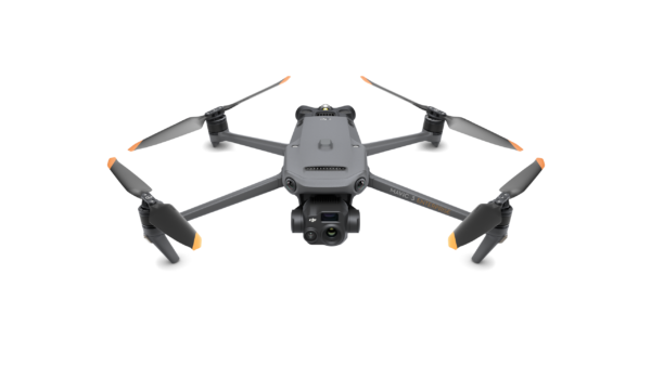
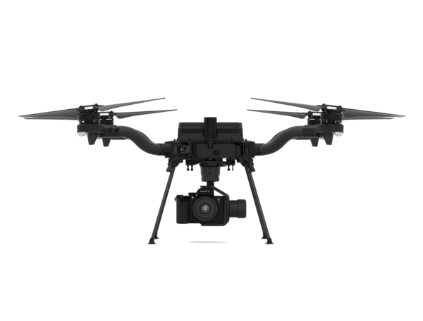

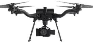
Freefly ASTRO
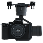
Sony A7R4


Freefly ASTRO

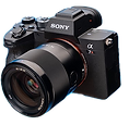
Sony A7R4
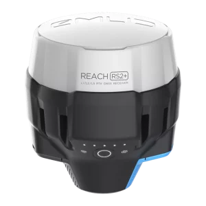
EMLID RS2+